Soon more than 500 high-resolution drones will conduct the country’s largest aerial survey in six lakh villages of India. The objective of this aerial survey is to provide legitimacy to the residential properties of more than 83 crore Indians in the villages. This survey to be made at a cost of 556 crores will not only make rural residential properties valid but will also make them eligible for financial benefits. The commercial use of these properties will not only increase but they will also be able to get loans.
Aerial survey of 566 crores will benefit more than 83 crores people
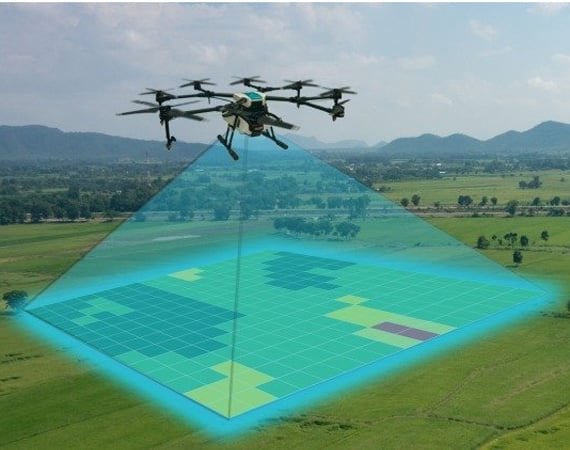
Union Secretary of the Ministry of Panchayati Raj, Sunil Kumar said on Thursday that the assets of the entire rural India from Kanyakumari to Kashmir and Shillong to Somnath will be collected accurately. The Survey of India (SOI) is conducting this survey. The HiTech drone will gather complete and accurate details of the land and other immovable properties of an average Indian village in just 15 minutes. By March 2024, all drones in the country will have their flight completed. Sunil Kumar said that all the states except Telangana have given the approval to prepare the details of rural properties. Each property owner will be given a property card upon completion of the survey. With this card, the countrymen will also be able to use their residential property as a financial instrument. He will also be able to take a loan from the bank on this property later.
The pilot project of the survey was successful
UP cadre IAS Sunil Kumar said that the pilot project of the drone survey has been successful. More than 40 thousand villages were covered under it. It is said that during the pilot project, property cards have also been received by hundreds of people in Uttar Pradesh. This big scheme has been promoted by Prime Minister Narendra Modi. Only last year, Modi has started a pilot project of drone survey in only six states including Uttar Pradesh, Uttarakhand, Haryana, Madhya Pradesh, Karnataka and Maharashtra.
Union Agriculture Minister and Panchayati Raj Minister Narendra Singh Tomar said that about 162 drones, mostly sourced from Germany, have been deployed for a survey of the land. These drones capture photographs with an accuracy of five centimetres. The government is now trying to get Indian companies to produce such drones. As soon as the survey is completed, online shopping routes will be opened in rural areas as well.